Highway Series Part 5: The Colorado River Barrier
The Last Bottleneck
Even after U.S. Route 91 gave the north–south corridor a numbered identity and consistent maintenance, one critical gap remained. Southeast of the Las Vegas Valley, the Colorado River formed a barrier with no reliable year-round crossing capable of handling heavy truck traffic. Freight bound for Arizona or Southern California faced a persistent bottleneck. It disrupted schedules for days. It kept the corridor from operating as a continuous desert artery.
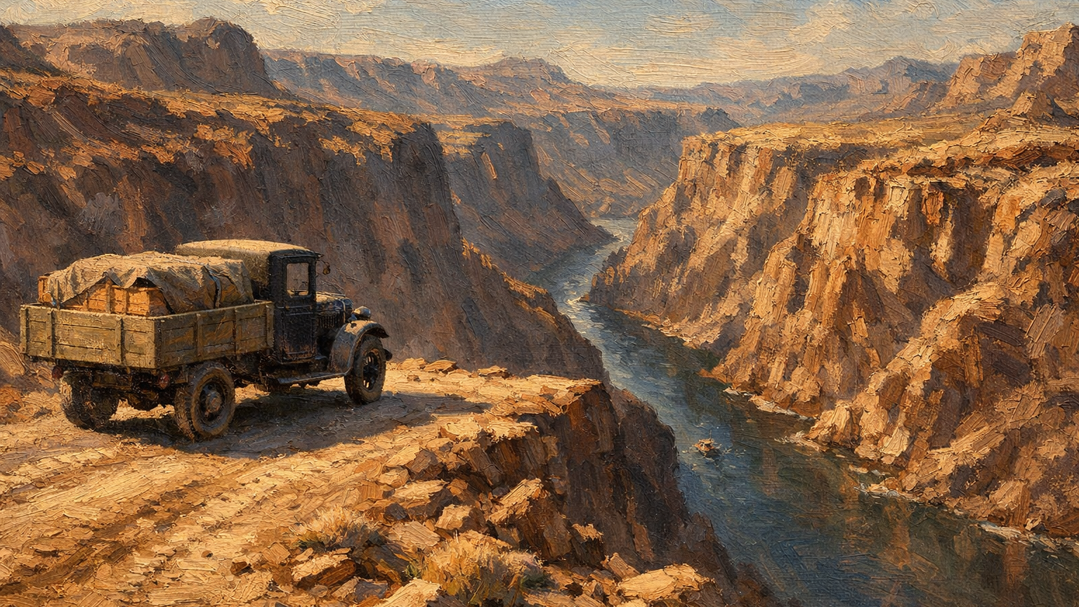
The geography was unforgiving. The Colorado did not simply cross the road. It cut through canyon walls hundreds of feet deep. There was no practical site for a low-water ford. There was no flat bank wide enough to stage heavy equipment. The river ran fast. It carried silt. It rose and fell without warning. Its level depended on snowpack hundreds of miles north. What appeared manageable in one season could become impassable within a day. Freight operators learned quickly that the Colorado set the schedule, not the shipper.
For years, the only practical solution was ferries. Small boats carried vehicles, livestock, and light freight across the river at sites such as Pearce Ferry. These operations were not built for the scale or pace of modern trucking. Loaded trucks waited hours or even days for safe water levels. The ferries carried only limited weight. A single storm or low-water period could halt traffic entirely.
The delays compounded. A truck held at the river for two days did not simply arrive two days late. It missed connections. It disrupted receiving schedules. It created ripple effects through supply chains from Salt Lake City to San Diego. Operators absorbed the uncertainty as a cost of doing business. The cost limited how the corridor could be used.
Las Vegas sat at the junction of routes running north, south, and west. It had the geography to become a dominant logistics hub for the region. The railroad had already established it as a division point. The road network was converging on the valley. What the system lacked was a completed eastern corridor. Without a reliable crossing of the Colorado, freight could not move efficiently between the Pacific Coast and the interior Southwest through Las Vegas. The river was not just a physical barrier; it was a ceiling on what the corridor could support.
A Route That Could Not Be Completed
The designation of U.S. Route 93 in 1926 identified a corridor that extended southeast from Las Vegas toward the Colorado River and beyond into Arizona. On maps, the route appeared continuous. On the ground, it was not. Road work advanced toward the river from both sides. Traffic attempted to use the route. Every movement still terminated at the canyon. What existed was an approach without a crossing. It was an incomplete corridor. It depended on ferries. It could not support reliable freight movement.
The physical barrier had a political counterpart. Before any structure could span the Colorado, the river had to be governed. Seven states drew water from the Colorado River basin: Arizona, California, Colorado, Nevada, New Mexico, Utah, and Wyoming. None agreed on how that water should be divided. Upper basin states grew alarmed as proposals for the dam gained congressional support. California supported the project in Congress. It contributed less runoff than the states upstream.
The concern was grounded in western water law. Under the doctrine of prior appropriation, the first user holds the first claim. A dam that accelerated California's draw could permanently foreclose options for upstream states. Herbert Hoover chaired the Colorado River Commission. He proposed a compromise. Divide the water between upper and lower basins. Do not set individual state quotas. The resulting Colorado River Compact was signed in November 1922.
Six states ratified it. Arizona refused. It would not sign for another two decades.
Between 1922 and 1928, Congress rejected several funding bills introduced by Representative Phil D. Swing and Senator Hiram W. Johnson, both of California. Each rejection delayed authorization for the project. It kept the crossing from moving forward.
The objections were not only about water. Critics challenged the cost. They questioned federal authority. They also disagreed on the site, whether Boulder Canyon or Black Canyon should host the structure. Each rejection delayed the crossing. It kept U.S. Route 93 incomplete.
In Carson City, Nevada's legislature faced the standoff with its own interests at stake. Nevada stood to receive the smallest water allocation of any lower basin state. State officials had limited leverage in negotiations dominated by California and Arizona. Those states had far larger populations and agricultural industries. Supporting the project meant accepting terms largely written by others.
The route on the map waited. Road crews had graded approaches. Traffic moved to the river's edge. It stopped. The political machinery that governed the Colorado moved slowly. Until it resolved, the canyon remained uncrossed.
A Problem Too Large for Roads Alone
By the late 1920s it was clear that routine road improvements could never solve the Colorado River problem. The river's deep canyon and powerful flow demanded a different class of solution. State and federal planners recognized that a reliable crossing required more than a bridge. It required control of the river itself. Even as that need became clear, agreement on how to control the river remained contested. Agreement on who would control it also remained contested. This delayed the infrastructure the corridor required.
The logistics bill for that delay was running. The crossing remained a ferry operation. Each month added cost and delay. Freight between the Pacific Coast and the interior Southwest moved inefficiently, expensively, or not at all. Carriers rerouted shipments to avoid the Colorado entirely. This added hundreds of miles to runs that should have passed through southern Nevada. Warehouses in Los Angeles held inventory longer than necessary. Suppliers in Arizona waited. The valley sat at the junction of the corridor. It absorbed none of that commerce. It could not yet connect to it.
The engineering problem was not subtle. Black Canyon presented walls rising hundreds of feet above the river. The Colorado ran fast. It flooded seasonally. It deposited silt in shifting patterns. A bridge without a controlled river beneath it would be a bridge over a moving threat. Engineers and federal planners reached the same conclusion: control the river, then cross it.
That conclusion reframed the project politically. A bridge was a road improvement. A dam was a federal undertaking. It involved flood control, water allocation, power generation, and interstate commerce. Congress passed the Boulder Canyon Act in December 1928. President Coolidge signed it into law. The act authorized $165 million for the dam, the Imperial Dam, and the All-American Canal. The argument over water rights and jurisdiction had not been fully resolved. Arizona's objections would persist for years. The legislation moved forward anyway. The federal government determined that the cost of inaction exceeded the cost of proceeding without unanimous consent.
For the Las Vegas corridor, that decision was the pivot. The dam would stabilize the river. A road would follow the dam. The crossing that freight operators had been waiting for was no longer a proposal. It was a funded project with a construction timeline. The bottleneck had not yet been broken. For the first time, it had a closing date.
Commitment to a Permanent Crossing
With the remaining approvals secured in Washington and in Carson City, the project moved forward. In 1931, construction began in Black Canyon on what would become Hoover Dam. A new road from Las Vegas to the site was built at the same time. For the first time, the barrier was not being worked around. It was being engineered out of the system.
The dam and the road were a single integrated undertaking from the start. The State of Nevada built a 24-mile highway from Las Vegas to Boulder City. It moved men and equipment to and from the construction site. At this time, the Union Pacific Railroad built the Boulder City branch line connecting Las Vegas to a railyard in Boulder City. Construction materials were staged there. They were then moved to the dam site. Nothing about the project was improvised. Every supply line, every access route, every staging area was planned and built as part of a coordinated system. Las Vegas sat at the center of that system as the primary junction point between the national rail network and the construction corridor.
Even before the crossing was completed, construction of the dam began to pull freight into Las Vegas. The impact was immediate. Federal spending on the project began in 1930, and much of it flowed through the valley. In 1931 alone, plans were filed for forty new buildings: offices, warehouses, and homes. The city’s population rose to 7,500 in a single year. The following year, Union Pacific spent $400,000 improving its Las Vegas rail yard. The dam’s monthly payroll reached $500,000. That money moved through Las Vegas on its way to workers, suppliers, and subcontractors across the region. The valley was no longer waiting to become a logistics hub. It was operating as a supply and staging point for the dam project.
Sources
The following sources support the historical and operational claims made in this article.
-
U.S. Census Bureau — Historical Population and Development Data . U.S. Census Bureau. https://www.census.gov/about/history/stories/monthly/2025/september-2025.html
Provides historical population and development data supporting the rapid growth of Las Vegas during the early 1930s, including increases in buildings, population, and economic activity tied to the Hoover Dam project.
-
Hoover Presidential Library — Hoover Dam and Colorado River Compact . National Archives.
Provides background on Herbert Hoover’s role and the formation of the Colorado River Compact.
Leave a Comment
Comments are reviewed before they appear publicly.